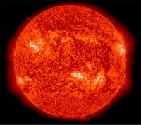
These two images show a section of the sun as seen by NASA’s Interface Region Imaging Spectrograph, or IRIS, on the right and NASA’s SDO on the left. The IRIS image provides scientists with unprecedented detail of the lowest parts of the sun’s atmosphere, known as the interface region. Image Credit: NASA/SDO/IRIS
This animation shows the IRIS in action:
And this video shows the initial imaging of the sun by IRIS:
The Washington Post had an extended article today about the potential havoc that would be unleashed upon our electronic civilization if the earth is hit by a severe solar storm: When space weather attacks! – WashingtonPost.com
The auroras of 1859, known as the “Carrington Event,” came after the sun unleashed a large coronal mass ejection, a burst of charged plasma aimed directly at the Earth. When the particles hit our magnetosphere, they triggered an especially fierce geomagnetic storm that lit up the sky and frazzled communication wires around the world. Telegraphs in Philadelphia were spitting out “fantastical and unreadable messages,” one paper reported, with some systems unusable for hours.
Today, electric utilities and the insurance industry are grappling with a scary possibility. A solar storm on the scale of that in 1859 would wreak havoc on power grids, pipelines and satellites. In the worst case, it could leave 20 million to 40 million people in the Northeast without power — possibly for years — as utilities struggled to replace thousands of fried transformers stretching from Washington to Boston. Chaos and riots might ensue.
PASADENA, Calif. – NASA’s Mars rover Curiosity drove 135 feet (41 meters) on Tuesday, July 9, the third drive of a journey of many months from the “Glenelg” area to Mount Sharp.
Last week, the mission finished investigating science targets in the Glenelg area, about 500 yards (half a kilometer) east of where Curiosity landed. The mission’s next major destination is at the lower layers of Mount Sharp, about 5 miles (8 kilometers) southwest of Glenelg. The July 9 drive brought Curiosity’s odometry to about 325 feet (99 meters) since completing the Glenelg investigations and about 0.51 mile (0.95 kilometer) since landing on Mars in August 2012.
Mount Sharp, in the middle of Gale Crater, exposes many layers where scientists anticipate finding evidence about how the ancient Martian environment changed and evolved. At targets in the Glenelg area, where Curiosity worked for the first half of 2013, the rover found evidence for an ancient wet environment that had conditions favorable for microbial life. This means the mission already has accomplished its main science objective.
NASA’s Jet Propulsion Laboratory, a division of the California Institute of Technology, Pasadena, manages the Mars Science Laboratory Project for NASA’s Science Mission Directorate, Washington. JPL designed and built the project’s Curiosity rover.
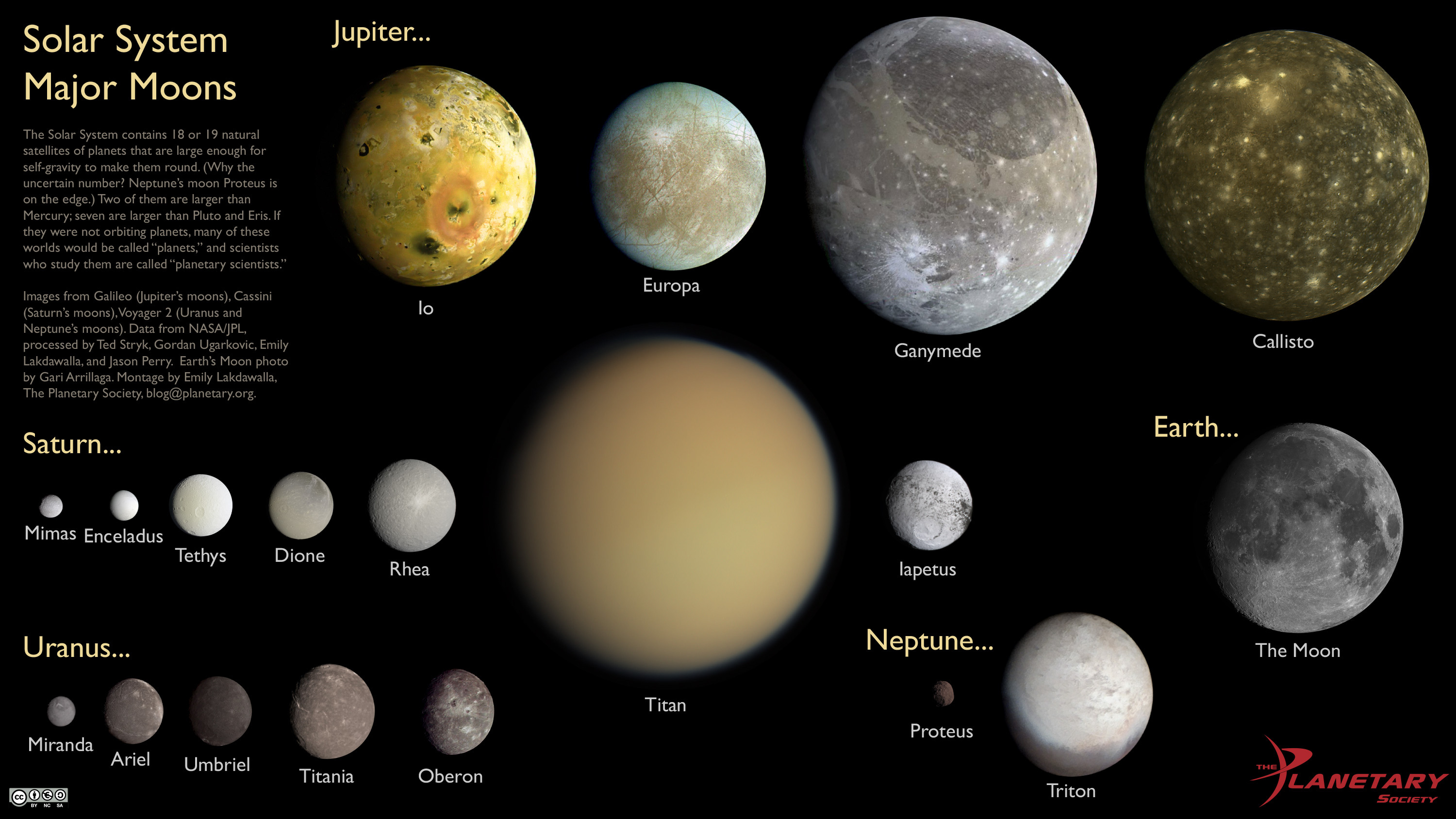
The Solar System contains 18 or 19 natural satellites of planets that are large enough for self-gravity to make them round. (Why the uncertain number? Neptune’s moon Proteus is on the edge.) They are shown here to scale with each other. Two of them are larger than Mercury; seven are larger than Pluto and Eris. If they were not orbiting planets, many of these worlds would be called “planets,” and scientists who study them are called “planetary scientists.” [Large image]
Montage by Emily Lakdawalla. The Moon: Gari Arrillaga. Other moons data: NASA/JPL. Processing by Ted Stryk, Gordan Ugarkovic, Emily Lakdawalla, and Jason Perry.