NASA JPL provides a list of the top sights in the night sky for May:
See also the Hubble Space Telescope Institute‘s May 2018 night sky preview:
====
NASA JPL provides a list of the top sights in the night sky for May:
See also the Hubble Space Telescope Institute‘s May 2018 night sky preview:
====
Check out Bob Zimmerman’s latest update on what the Curiosity and Opportunity rovers on Mars have been up to: Mars rover update: April 27, 2018 | Behind The Black
Curiosity’s exploration of Vera Rubin Ridge is extended, while an attempt by Opportunity to climb back up Perseverance Valley to reach an interesting rock outcrop fails.
===
Here is an overview of NASA JPL’s goal of one day bringing back a sample of Martian soil to earth:
Check out this interesting video from NASA Goddard showing the continual changes in the health and status of North America forests as seen with imagery from the Landsat satellites, which have carried out remote sensing from orbit since the 1970s:
(Via Video: Satellite imagery highlights changes in US forests – DCNewsroom.)
If you want daily updates on the earth’s environment as monitored from space, check out NASA Goddard’s app: EOSDIS Worldview
This application allows you to interactively browse global satellite imagery within hours of it being acquired.
NASA’s Worldview app lets you explore Earth as it looks right now or as it looked almost 20 years ago. Through an easy-to-use map interface, you can watch tropical storms developing over the Pacific Ocean; track the movement of icebergs after they calve from glaciers and ice shelves; see wildfires spread and grow as they burn vegetation in its path. Pan-and-zoom to your region of the world to see not only what it looks like today, but to investigate changes over time. Worldview’s nighttime lights layers provides a truly unique perspective of our planet at night.
What else can you do with Worldview? Add imagery layers by discipline, natural hazard, or key word to learn more about what’s happening on this dynamic planet. View Earth’s frozen regions with the Arctic and Antarctic views. Take a look at current natural events like tropical storms, volcanic eruptions, wildfires and icebergs at the touch of a button using the “Events” tab. See a view you like? Take a snapshot and share your map with a friend or colleague. Want to track the spread of a wildfire? You can even create an animated gif to see change over time.
====
The Mars Society is holding the MarsVR Kickstarter campaign to fund development of “a virtual reality platform for serious research to support the human exploration of Mars” –
The MarsVR program will be a unique multi-phase effort designed to pioneer the emerging field of CrowdExploration, which we define as the partnership between the first astronauts on Mars and VR experts and enthusiasts back on Earth. The Mars Society aims to develop a special VR platform to assist with the initial human exploration of Martian landing sites.
Phase 1 of the MarsVR program will focus on designing training simulations for the Mars Society’s Mars Desert Research Station in Utah, providing direct assistance in preparing MDRS crew members for their analog research and testing. Since every moment at MDRS is valuable, just like actual astronauts working in space, the Mars Society wants its crew members to make the most of their time “on Mars.” We will also open-source the key elements of the platform so that the general public can freely make use of it to experience human Mars exploration.
As part of the new MarsVR initiative, the Mars Society plans to build a high-resolution simulation of the entire MDRS habitat, both inside and out. To complete the experience, Mars Society staff will scan a one-square mile capture of the Mars-like terrain around MDRS using the latest photogrammetry techniques. Funds raised beyond the $25,000 project goal will be used to expand the VR platform beyond the initial one-square mile capture to allow for a broader Mars experience for both crew and members of the public.
Find more details about the project at MarsVR.
====
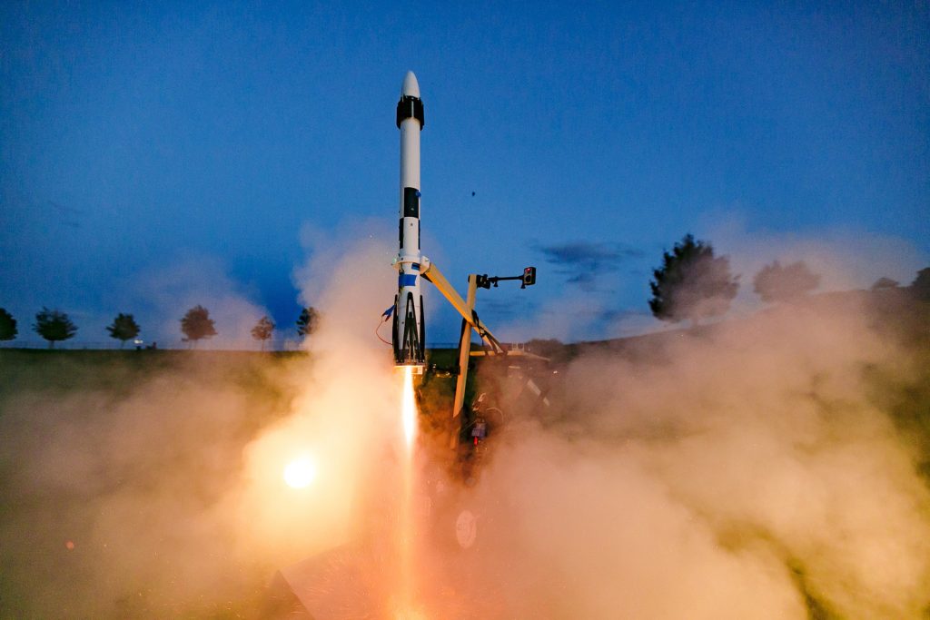
Joe Barnard founded the company BPS.space to push scale model rocketry to new levels of sophistication:
Barnard Propulsion Systems develops model rocketry components, aimed at closely matching the pace of advancement in the space-launch industry. Learning by experimentation is the most effective way to gain a deep understanding of new concepts, which is why providing hands-on experience with advanced rocketry components is important for the next generation of scientists, engineers, and astronauts.
A BPS flight computer, for example, provides for
“thrust vectoring, controlling parachutes, data logging, and in-flight emergency aborts. Safer, more realistic flights—no fins required”.
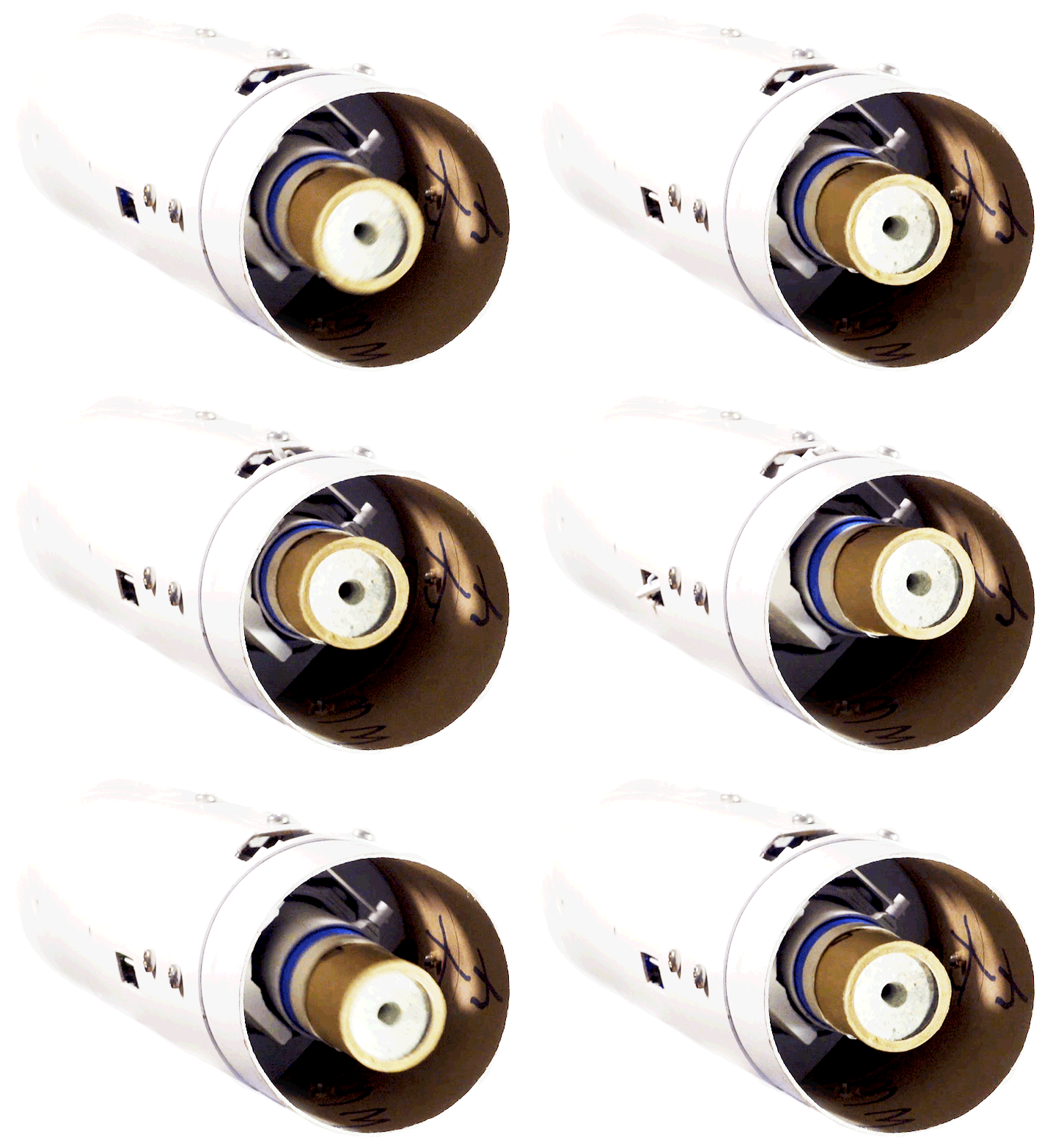
This brief video shows off some of the company’s rocket technologies:
This video shows a talk given by Barnard about BPS Space:
You can follow and support Barnard’s projects at BPS.space is creating Rockets | Patreon.
====